Pick out your stop
Directions to Kings Canyon: the Mereenie Loop and the Red Centre Way
Answer in brief
Directions to Kings Canyon from Alice Springs run over the unsealed Mereenie Loop, about 332 km and recommended for four-wheel drive, or by the sealed road in about 5 hours.
Loop or sealed
Browse 14 stops
Kings Canyon, the stays around it and the roads in
Choose a route, then tap a pin or stop for its note and a Google Maps link.
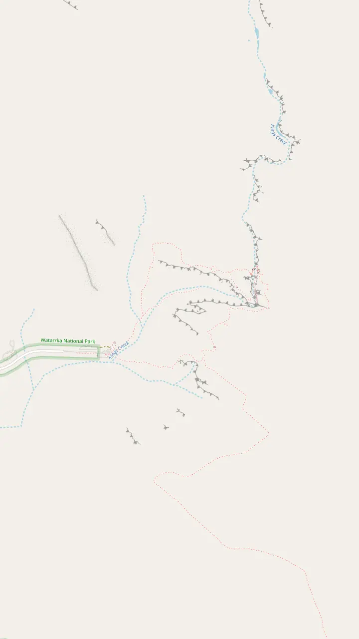
The car park is the trail head for most walks in the area, and the routes are colour coded.
Google MapsThe creek walk ends at a raised platform with a lookout and takes around 1 hour.
Google MapsA permanent waterhole shaded by exotic plants. It is a sacred spot for the Traditional Owners, so do not swim.
Google MapsOn the Rim Walk, the climb is followed by views from Cotterill's Lookout.
Google Maps
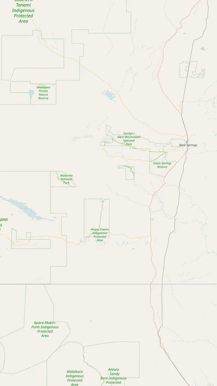
Kings Canyon is about 450 km south west of Alice Springs.
Google MapsMereenie Loop permits can be bought at the Hermannsburg General Store.
Google MapsFuel and limited supplies are sold at Glen Helen, Hermannsburg, Kings Creek Station and Kings Canyon Resort.
Google MapsThe unsealed Mereenie Loop ends here, between Kings Canyon Resort and the Larapinta Drive junction.
Google MapsCurtin Springs Station is a working cattle station and roadhouse on the Lasseter Highway.
Google MapsWatarrka National Park is only 3 hours' drive from Uluru.
Google Maps
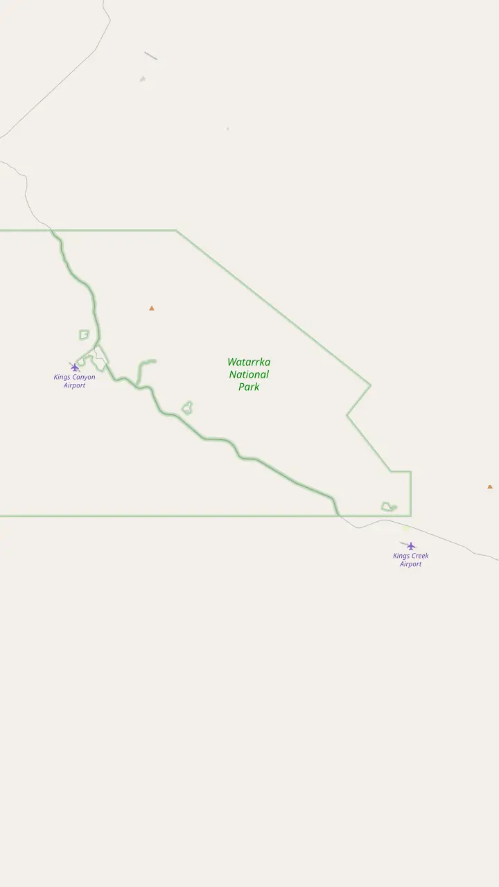
The resort has a swimming pool, tennis court, BBQ, laundry room and petrol station.
Google MapsThe resort lies 10 km from this car park and 7 km from the park entrance.
Google MapsA Grade 1 walk of 2.5 km return, very flat and wheelchair accessible.
Google MapsThe station lies 36 km from Kings Canyon and is closed from 1 November 2026 until 1 March 2027.
Google Maps
Mapping data © OpenStreetMap contributors
Kings Canyon can be reached from Alice Springs by an unsealed loop that needs a permit and a sealed road that does not. Here is how each drives, what to carry and how to plan a self-guided trip.
Editorial team, kingscanyontour.com · Updated November 7, 2026 · ~7 min read
Main facts
- Mereenie LoopAn unsealed section of the Red Centre Way, about 332 km from Alice Springs by Tourism Central Australia's figure, where Tourism NT lists 323 km.1,2,3
- VehicleRecommended for four-wheel drive vehicles only, and often corrugated.4
- PermitAbout 5 Australian dollars per vehicle, valid for 3 days, bought in person.5,6,7
- Sealed routeVia the Stuart Highway, Lasseter Highway and Luritja Road, about 5 hours.8
- FuelThe loop has no fuel stops, so fill up in Alice Springs or at Kings Canyon.4,9
Which road to Kings Canyon suits your vehicle
Directions to Kings Canyon from Alice Springs come down to a choice between a shorter, rough road and a longer, smooth road. The Mereenie Loop is an unsealed section of the Red Centre Way that links Alice Springs and Kings Canyon, and Tourism Central Australia gives the journey by that route as approximately 332 km, where Tourism NT's itinerary lists 323 km to Kings Canyon Resort.1,2,3 The alternative is a fully sealed road for those in a two-wheel drive, which runs south via the Stuart Highway, the Lasseter Highway and Luritja Road.8
The first question is therefore about your vehicle, not your appetite for adventure. Tourism Central Australia says a car on the loop should be a four-wheel drive, or an all-wheel drive that has off-road permission, and it reminds hire-car drivers to check whether their vehicle is permitted to travel on the Mereenie Loop at all.10 Read the rental agreement before you plan a route around it, and phone the company if the wording is unclear.
The second question is time. On the sealed route the drive takes approximately 5 hours without stops.8 Travel time on the loop varies more, because the changing condition of an unsealed road governs the pace.11 If you are on a tight schedule, the sealed road is the predictable choice, while the loop suits travelers who have time to stop and a vehicle that is allowed on it.
Loop or sealed
The two routes from Alice Springs compared
| Aspect | Mereenie Loop | Sealed route |
|---|---|---|
| Surface | Unsealed, often corrugated4 | Fully sealed8 |
| Vehicle | Four-wheel drive recommended4 | Two-wheel drive suits8 |
| Time | Varies with conditions11 | About 5 hours without stops8 |
| Roads | Larapinta and Namatjira Drive junction to Kings Canyon15 | Stuart, Lasseter and Luritja8 |
| Permit | Required, about 5 Australian dollars16,5 | No loop permit applies to it |
The permit rules belong to the Mereenie Loop only; check your own booking and the road report before you set out.
What the Mereenie Loop is like to drive
The Mereenie Loop begins from either the Larapinta and Namatjira Drive intersection or from Watarrka National Park, depending on which way you drive it.1,15 Tourism Central Australia describes the stretch as often corrugated, with no facilities or fuel stops, and recommended for four-wheel drive vehicles only.4 Corrugations shake loose gear and tire your arms, so pack the car with heavy items low and secure the rest.
The unsealed section is the part of the Red Centre Way between Kings Canyon Resort and the Larapinta Drive and Namatjira Drive intersection.15 You can drive it in either direction, starting from the junction near Alice Springs or from the park end, and the choice mostly depends on where you sleep the night before. Because the road crosses Aboriginal land, a permit is needed to travel on it.16 The scenery along the way includes wild brumbies, camels and dingoes, so keep your speed down and your eyes on the roadside.17
Ginty's Lookout is a stop on the loop with a view back over Kings Canyon, a good place to pull over and stretch.13 Camping along the loop is not permitted, but stopping for a break is allowed, provided you then move on.18 Plan your overnight stop at the resort or the station at the end of the day, not on the road itself, and set out early enough to arrive in daylight.
How far
Distances to Kings Canyon, in kilometers
The Mereenie Loop permit: cost, validity and where to buy
A valid permit is required to drive the loop. Tourism Central Australia gives the cost as roughly 5 Australian dollars per vehicle, valid for 3 days from the time of purchase, and its permits page states 5.00 Australian dollars and the same 3-day validity.5,6 Treat the price as a guide, and confirm it when you buy, since fees on Aboriginal land can change. The fee is per vehicle, so a car full of people pays the same as a lone driver.
The permit must be obtained in person.7 It can be bought at the Alice Springs Central Lands Council, and also at Glen Helen Lodge, the Hermannsburg General Store, Kings Canyon Resort reception and Kings Creek Station.12 Outlets can close, as the same page notes for Glen Helen, so do not rely on a single stop. Buy the permit in the town where you start and keep it in the glovebox.
The permit comes with rules, and they are short enough to memorize before you leave town. Alcohol may not be consumed along the Mereenie Loop, though sealed alcohol can be carried in the vehicle.21 Camping on the road is not permitted either.18 The 3-day validity means a leisurely trip with a night at the canyon still fits inside a single permit, provided you do not stretch the drive across several days.6
Pick your road
Loop or sealed road: which to drive?
Choose the line that matches your vehicle and your schedule
If I have a four-wheel drive and time
The Mereenie Loop
It is recommended for four-wheel drive vehicles, and travel time varies.4,11
If I am in a standard hire car
The sealed route
The fully sealed route takes approximately 5 hours without stops.8
If My hire car may not be allowed
Check the rental terms first
Hire-car drivers must check whether the vehicle is permitted on the loop.10
If I want a long road trip
The full Red Centre Way
Tourism NT recommends at least 6 days by 4WD.20
If I do not want to drive at all
A guided day by coach
This site's tour lasts 12 hours from Ayers Rock Resort.
The sealed route for ordinary cars
Drivers without a four-wheel drive have a clear option. Tourism Central Australia describes a route that is sealed all the way from Alice Springs to the canyon, heading south on the Stuart Highway and then the Lasseter Highway and Luritja Road, taking approximately 5 hours without stops.8 That is the road to pick if your rental car is not cleared for unsealed surfaces, and the sealed approach also lets you arrive without the corrugation and dust of the loop.
On the final leg you turn off the Lasseter Highway onto Luritja Road. Tourism NT also describes the connection to the south: leave the canyon and follow Luritja Road and the Lasseter Highway toward Uluru-Kata Tjuta National Park, passing Mt Conner on the way.37 Kings Canyon is about 300 km north east of Uluru and about 450 km south west of Alice Springs, which is the context for every driving plan on this page.19
Curtin Springs Station is a working cattle station and roadhouse on the Lasseter Highway, a natural stop for fuel, a coffee and a leg stretch on the way between Uluru and the Kings Canyon turnoff.34 Watarrka National Park is only 3 hours' drive from Uluru.35 If you do not want to drive at all, this site's full-day tour handles the 12 hours by coach from Ayers Rock Resort, from $242.
A loop day
Alice Springs to Kings Canyon by the Mereenie Loop
Day before
Buy the permit
The permit must be bought in person and costs about 5 Australian dollars.7,5
Morning
Fill the tank
Fill up with fuel and buy water in Alice Springs, as the loop has no fuel stops.9,4
En route
Hermannsburg and Glen Helen
Both sell fuel and limited supplies, and the Hermannsburg store sells permits.9,12
Unsealed stretch
Drive the loop
Expect corrugations and a travel time that varies with conditions.4,11
Near the end
Ginty's Lookout
Stop for a view back over Kings Canyon.13
Arrival
Resort or station
The general store is open from 8am to 4pm, and fuel is sold there.14
Fuel, water and road conditions before you leave
Preparation is the whole of a safe outback drive. Tourism Central Australia advises drivers to top up the tank and stock up on water and supplies in Alice Springs or at Kings Canyon, ahead of the Mereenie Loop, with fuel and limited supplies also at Glen Helen, Hermannsburg, Kings Creek Station and Kings Canyon Resort.9 The loop itself has no fuel stops, so treat those places as the edges of the safe zone.4
It also asks drivers to carry enough fuel, water and food, and to check the vehicle, including the spare tire, before going off road.36 Check road conditions on the Road Report NT website before and during the trip, because an unsealed road can change from day to day.36 Download or screenshot the report before you lose signal, and ask at the permit counter whether any part of the road has been closed recently.
At the resort end, the general store and fuel station is open from 8am to 4pm daily and sells fuel as well, which makes it a convenient place to top up before you drive out, buy snacks for the road and ask the staff about conditions ahead.14 The resort has a petrol station, a swimming pool, a tennis court, a BBQ and a laundry room.27 If you arrive late after a long drive, those facilities make a tired evening comfortable.
Video
A Red Centre road trip guide: the Mereenie Loop, Kings Canyon and Uluru
TJ AND MAC on YouTube · The clip loads only after you tap play.
Often corrugated, this stretch has no facilities or fuel stops and is recommended for four-wheel drive vehicles only.
Before you drive
A checklist for the road to Kings Canyon
Paperwork3
Supplies3
Planning a self-guided Kings Canyon driving tour
The Red Centre Way is the long form of this trip, and it makes a good self-guided tour of Kings Canyon and the country around it. Tourism NT suggests allowing a minimum of 6 days for the Red Centre Way in a 4WD.20 The route runs from Alice Springs through Tjoritja West MacDonnell National Park, where gorges and waterholes such as Standley Chasm, Simpsons Gap, Ormiston Gorge, Ellery Creek Big Hole and Glen Helen are on offer.38
From there you continue along the Mereenie Loop to Kings Canyon, spend a night, walk the canyon in the cool morning, and move on toward Uluru by Luritja Road and the Lasseter Highway.37 Allow time at Kings Canyon itself: depending on your plans and your arrival time, it may be possible to do the canyon in 1 day.39 A second night gives you room for the Rim Walk without a rushed start.
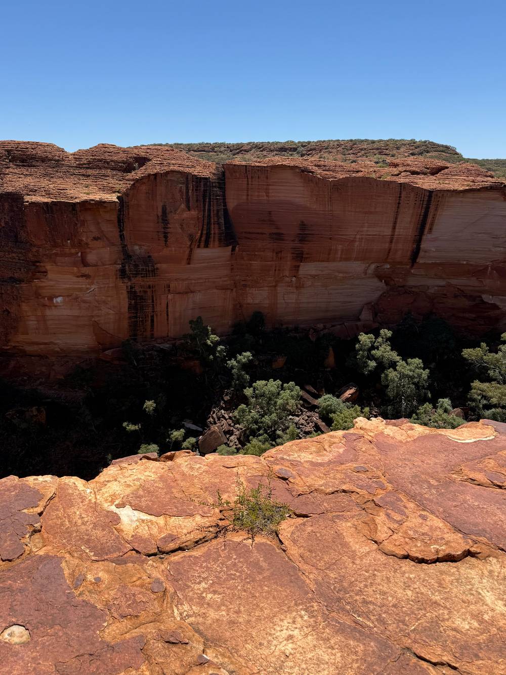
A shorter driving tour fits a long weekend if you accept the sealed road. The distances in the chart below show how the trip splits, and the checklist lists what to confirm. Whether you drive or ride, the canyon itself is the same: sandstone walls rising 100 m, with palm-filled crevices at the foot.40 The roads are only the way to see it, so choose the road that leaves you with energy for the walk, whether that means the long unsealed loop or the quiet sealed route.
FAQ
Short questions, short answers.
Do you need a permit for the Mereenie Loop?
Can you drive to Kings Canyon in a normal car?
The fully sealed route via the Stuart Highway, Lasseter Highway and Luritja Road takes approximately 5 hours without stops.8
Where can you buy a Mereenie Loop permit?
Is there fuel on the Mereenie Loop?
How far is Kings Canyon from Alice Springs?
Can you camp on the Mereenie Loop?
How long should the Red Centre Way take?
Tourism NT suggests a minimum of 6 days for the Red Centre Way in a 4WD.20
Sources
- Tourism Central Australia · The Mereenie Loop ↩
- Tourism Central Australia · The Mereenie Loop ↩
- Tourism NT (northernterritory.com, Northern Territory Government tourism body) · The Red Centre Way, 6-day itinerary ↩
- Tourism Central Australia · The Mereenie Loop ↩
- Tourism Central Australia · The Mereenie Loop ↩
- Tourism Central Australia · Permits ↩
- Tourism Central Australia · Permits ↩
- Tourism Central Australia · The Mereenie Loop ↩
- Tourism Central Australia · The Mereenie Loop ↩
- Tourism Central Australia · The Mereenie Loop ↩
- Tourism Central Australia · The Mereenie Loop ↩
- Tourism Central Australia · Permits ↩
- Tourism Central Australia · The Mereenie Loop ↩
- Discovery Resorts (Kings Canyon park, official site) · Discovery Resorts - Kings Canyon ↩
- Tourism Central Australia · Permits ↩
- Tourism Central Australia · The Mereenie Loop ↩
- Tourism Central Australia · The Mereenie Loop ↩
- Tourism Central Australia · The Mereenie Loop ↩
- Tourism Central Australia · Kings Canyon region guide ↩
- Tourism NT · The Red Centre Way in 6 days ↩
- Tourism Central Australia · The Mereenie Loop ↩
- Tourism Central Australia · Kings Canyon hikes and walks
- Tourism Central Australia · Kings Canyon hikes and walks
- Tourism Central Australia · Kings Canyon hikes and walks
- Tourism Central Australia · Kings Canyon hikes and walks
- Tourism Central Australia · Kings Canyon hikes and walks
- Discovery Resorts · Kings Canyon ↩
- Tourism Central Australia · Kings Canyon hikes and walks
- Tourism Central Australia · Kings Canyon hikes and walks
- Kings Creek Station · Accommodation
- Kings Creek Station · Welcome to Kings Creek Station
- Tourism Central Australia · Kings Canyon dining
- Discovery Resorts · Kings Canyon
- Tourism NT · The Red Centre Way in 6 days ↩
- Tourism NT · Kings Canyon and Watarrka National Park ↩
- Tourism Central Australia · The Mereenie Loop ↩
- Tourism NT · The Red Centre Way in 6 days ↩
- Tourism NT · The Red Centre Way in 6 days ↩
- Tourism Central Australia · Kings Canyon region guide ↩
- Tourism NT · Kings Canyon and Watarrka National Park ↩
Related reading